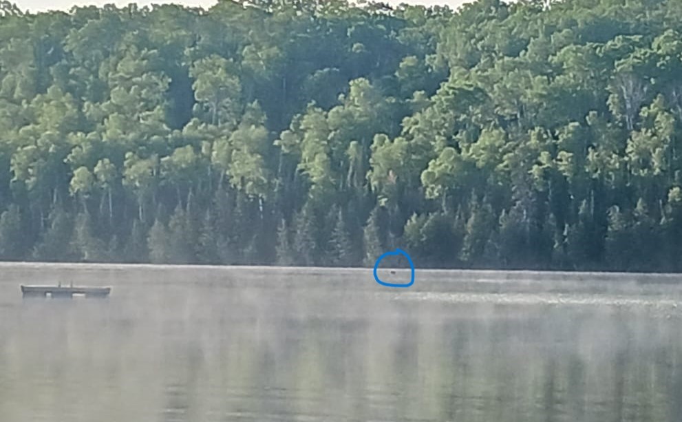
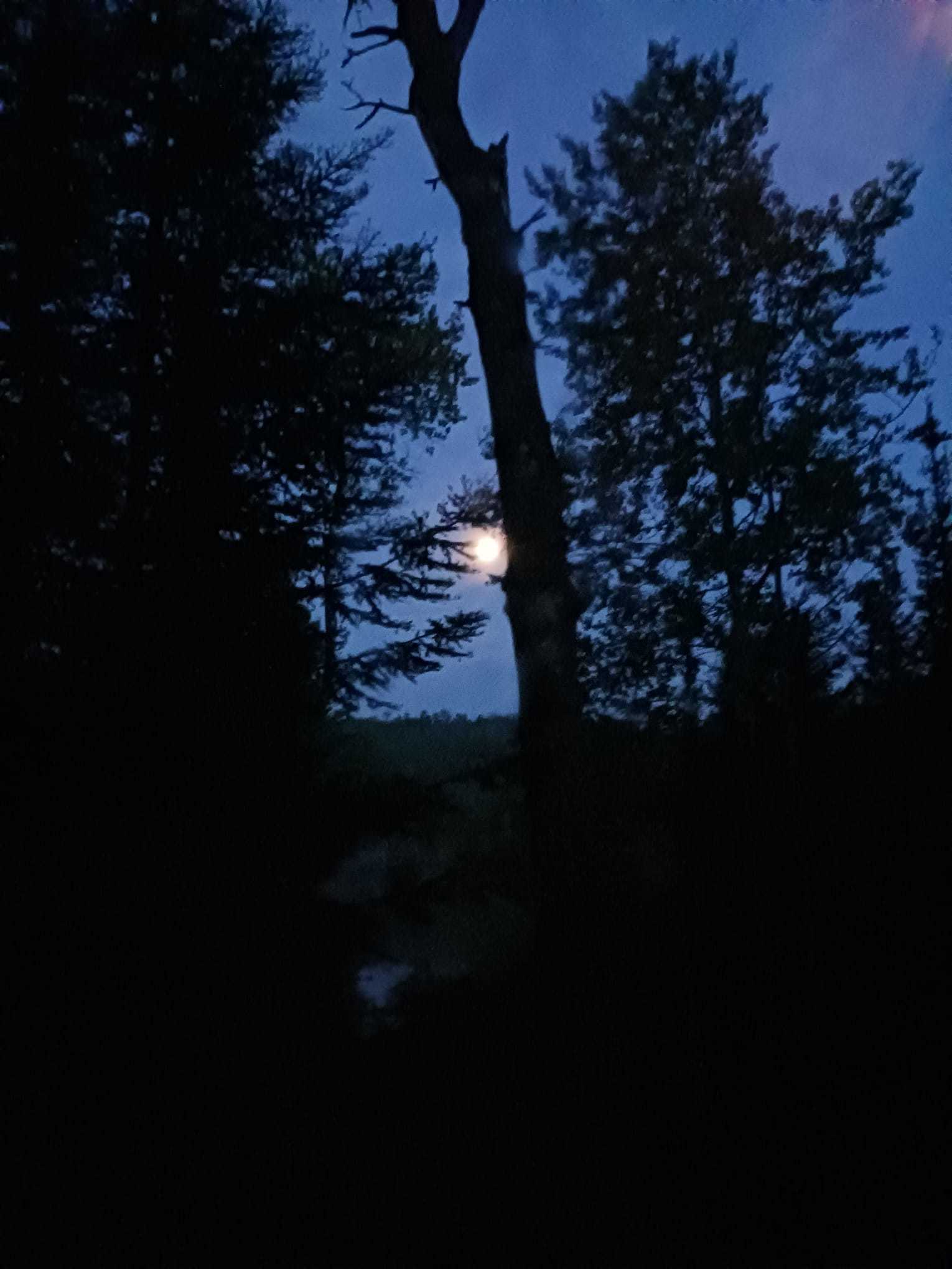
Image: squint at the circled bit. It is a moose.
As previously noted, my family always jokes when we're up north about all the moose we're NOT seeing. We religiously trek up to Moose Viewing and happily see no moose. But, this trip was not, in fact, mooseless.
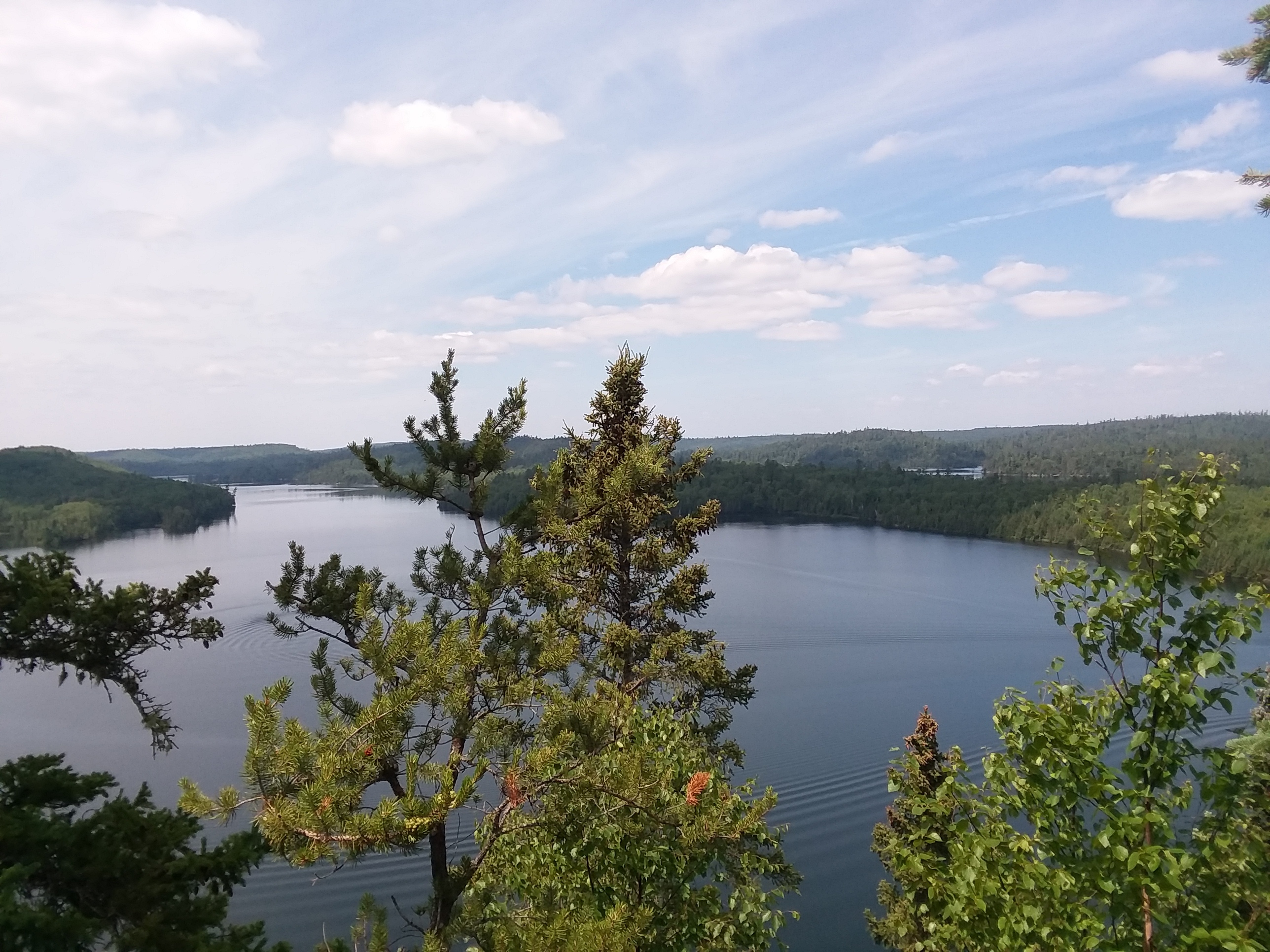
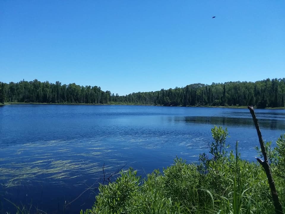
On Friday morning, Shawn and I were up before six am, per usual. We like to go down to the dock and just take in the absolute silence (by which I actually mean all the racket of the birds.) So, there we are just staring off into the lake. The guy in the dock next to us is quietly getting his motorboat ready to head off for some fishing, and Shawn says--somewhat quietly because Bearskin is very strict about it's quiet hours, which are until 10 am, "What's that?"
I look over to where she is pointing and my brain registers an image that is something like this: \---/
I think: kayak? It's certainly moving at speeds. But the little up parts aren't going up and down. It's also making hardly any splashs. I offer "Kayak?" just as Shawn says, "Some weird piece of driftwood?" But then something clicks for both of us and we realize the sticky-up bits are EARS and we're like, "Oh! OH! It's a MOOSE!"
I honestly tend to forget that moose are powerful swimmers.
Even though just the day before, Bob, the owner of Bearskin, had been telling me about how the moose come right down to the water's edge to calve in May because, if a bear or other predator is around, the mama and newborn can make a quick escape into the water. Which is just WILD considering how massive and ungainly these animals look. Like, they look like they should flail around and sink, not glide around a deep lake like they're fully motorized.
Anyway, I try to get the guy next to us excited, but apparently toxic masculinity means all he can do is grunt, "Huh. Yeah. Moose," like he sees moose swimming in a deep lake every other day, ho hum. Later, however, I hear him telling his family about the moose, so I guess even the toughest of the tough guys aren't fully immune to how F*CKING AWESOME MOOSE ARE.
And, yeah, the picture sucks. No one has a good telephoto lens on their camera in my house of cheap phones, so you'll just have to deal with Shawn's best effort. Trust me, when you're looking with your actual eyes it was much more clearly moosey. But, I won't lie. It does look like one of those photos trying to convince you that there is a Loch Ness Monster.
That was kind of the pinnacle of the day and it was only quarter to seven.
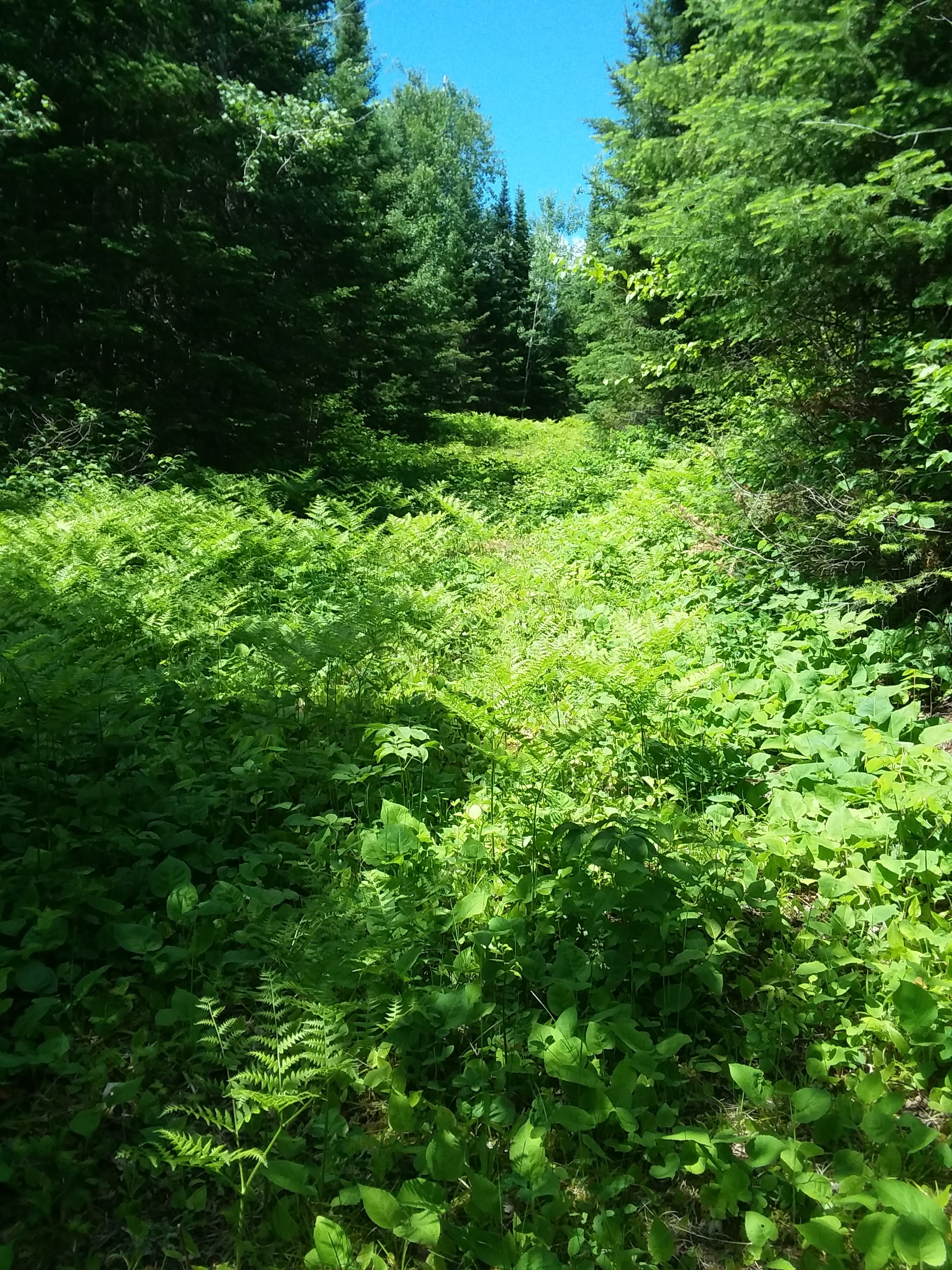
I am hard pressed to remember the rest of the day. IIRC, it was very windy after that calm cold morning, but after seeing the moose in the water we all kind of wanted to be sure to get out in the canoe. Mason and I fought the wind all the way around "the point" as we call it, but it was ridiculously windy. But, that is what novels and a roaring fire are for.
Our final day was Saturday. Shawn and I canoed at an insanely early hour again (now looking for WATER MOOSE) but saw none. We did have a lovely, perfectly calm day, however, to do our gentle gliding. I miss it so much right now, it's not even funny.
On the way back, I really, really wanted to try to get stamps for State Parks. There are a ton up there and I have decided that, since my passport book is a life project, it's okay to run in, get a stamp. So long as the plan is to explore the parks "for real" some other time. There are, for instance, several state parks that I DON'T have stamps for that Mason and I spent hours exploring. Even so, perhaps it's cheating? I have zero intention of actually trying to get a plaque or whatever the prize is if you fill up a book, so it doesn't feel that way to me.
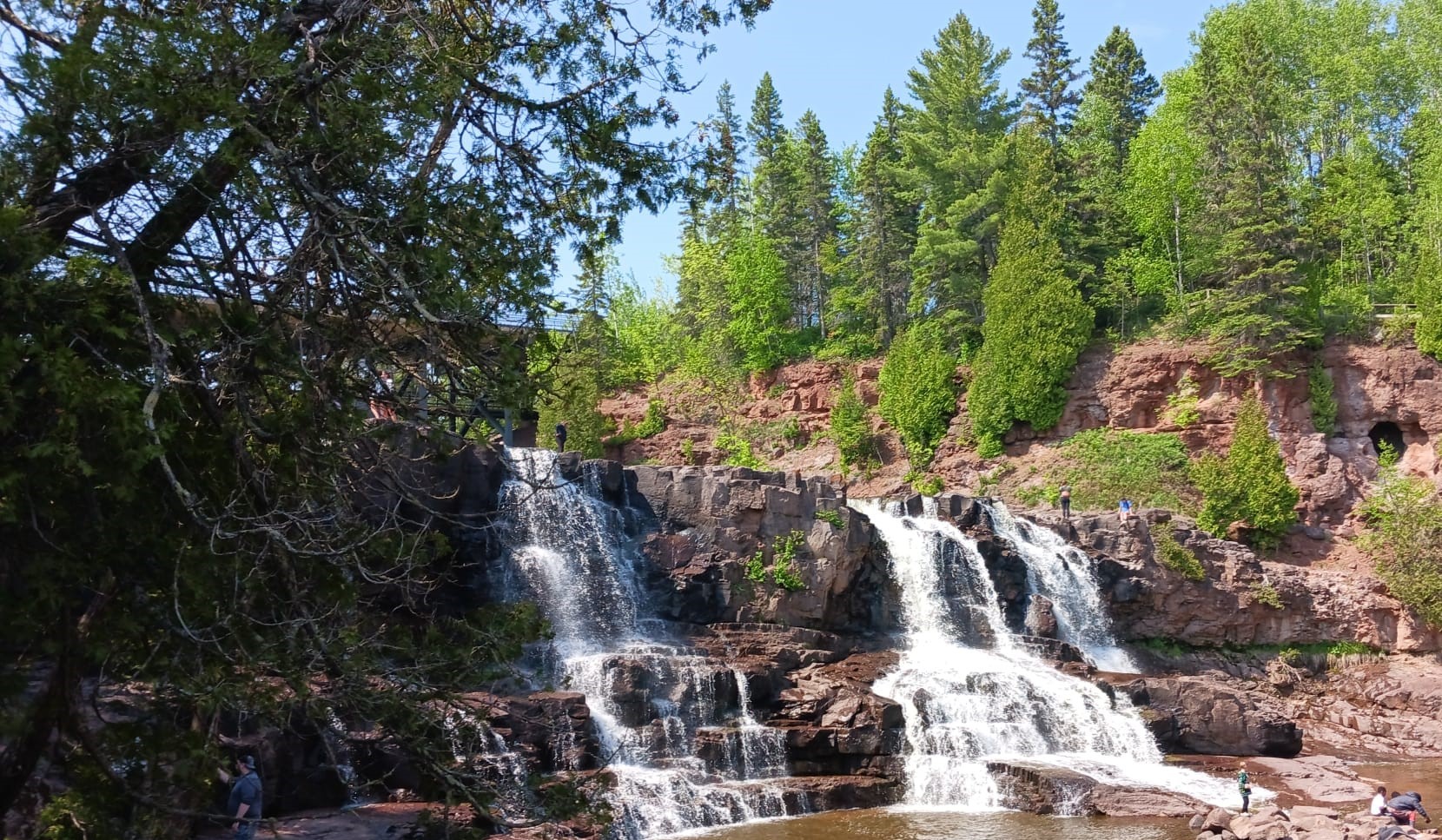
Regardless, we EARNED the Cascade Falls State Park stamp, holy crap.
At first, I had intended to just go in, get a stamp and maybe a patch, but I got to talking to the ranger there (a pine marten murdered a whole bunch of her chickens, "Cute little guy, though!" she said cheerily in a fully Fargo accent,) and she convinced us that it was worth trying to see the falls.

Image: Cascade Upper Falls. Worth the Detour!!
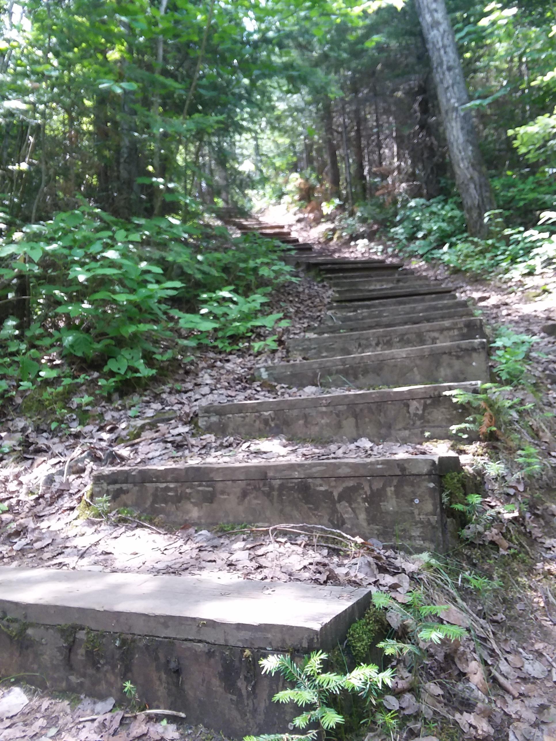
The walk up to see this from the Trail Center was 0.5 miles, but we got confused by the idea of the "loop hike" to see both upper and lower falls and so Mason and I proceded to get... well, not lost, but turned around by the map several times. This would not normally be a problem but the hikes at Cascade River State Park are along a massive gorge and so there are a lot of stairs and extremely steep slopes. I did alright? But thank goodness I'd been practicing, and honestly, nothing can compare to the stairs at Judge C. R. Magney/Devil's Kettle. Poor Shawn decided to stay behind again ans started to worry when this very tiny hike turned into forty-five minute hike.

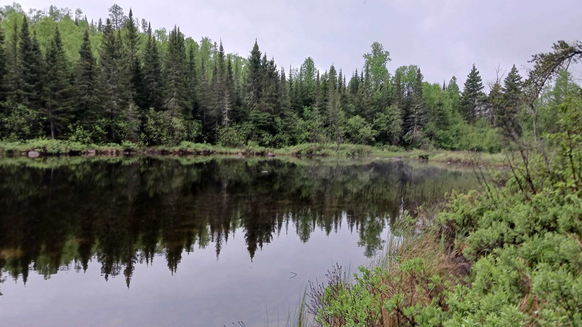
Image: Cascade River's lower falls
Then it was just a lot of dodging in and dodging out, slowed down by the fact that the day we came back was Free State Park Day and literally everyone and their dog was out checking out the state parks (Gooseberry State Park had an actual Dog Day event. So many good puppers!) It took us forever to get back, but, luckily, my family was on board. The only bummer/hassle was an extremely slow waitress at Betty's Pies. It seems a little bit... intentional? Like, maybe a bit homophobic? The only scar in our otherwise great day. We put a whole bunch of State Parks on our "must return to for a more serious look" list.
One park that isn't quite so far away that I really want to return to is Jay Cooke. That place looked INSANELY cool. But, I'd honestly spend several days in all of them, if I could.
So, that's all the moose fit to print.
If you want to see a better shot of moose in the wild, check out "North Woods Adventure (Part 1)" from our very first trip to Bearskin in 2010: https://lydamorehouse.dreamwidth.org/173253.html


 '
' .
.