Just Another Day in Paradise (Thursday)
Jun. 13th, 2025 10:02 amMy day on Thursday started with something I will probably never experience again in my life: the sighting of a pine martin in the wild. I literally have never seen this animal before in my life, except a brief glimpse at the Minnesota Zoo.
The folks working at the lodge confirmed. They'd been sighting a pine martin between the staff cabin and Cabin 1 (where we're staying.)
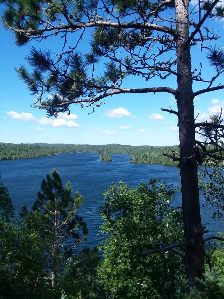
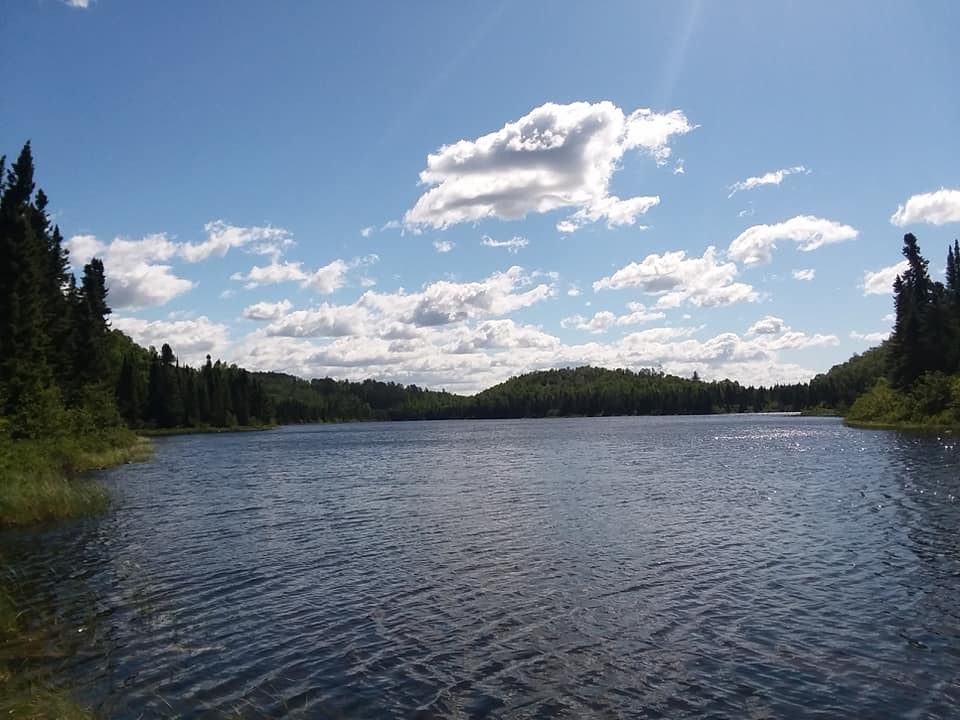
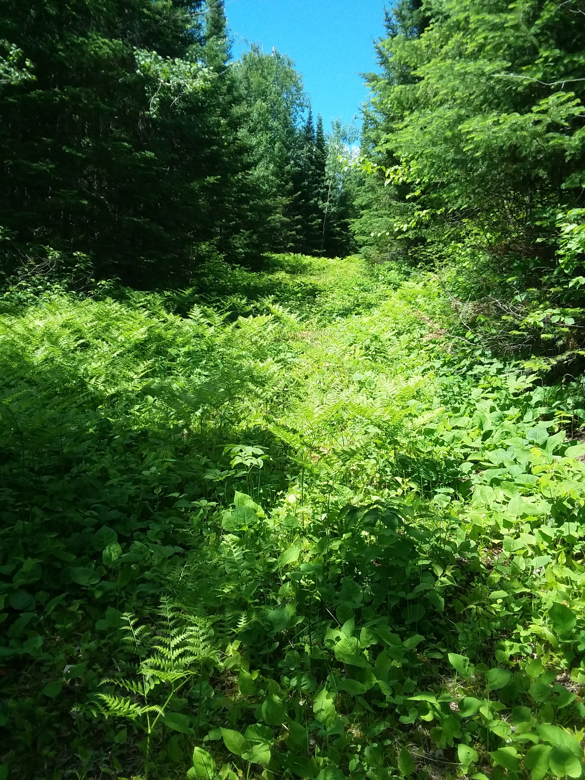
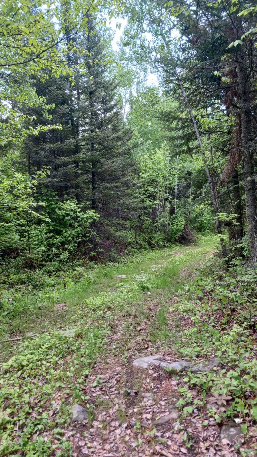
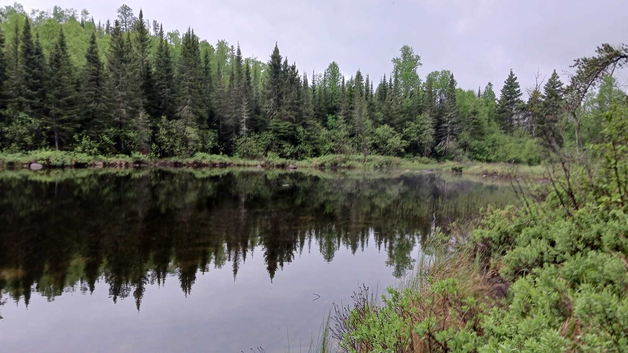
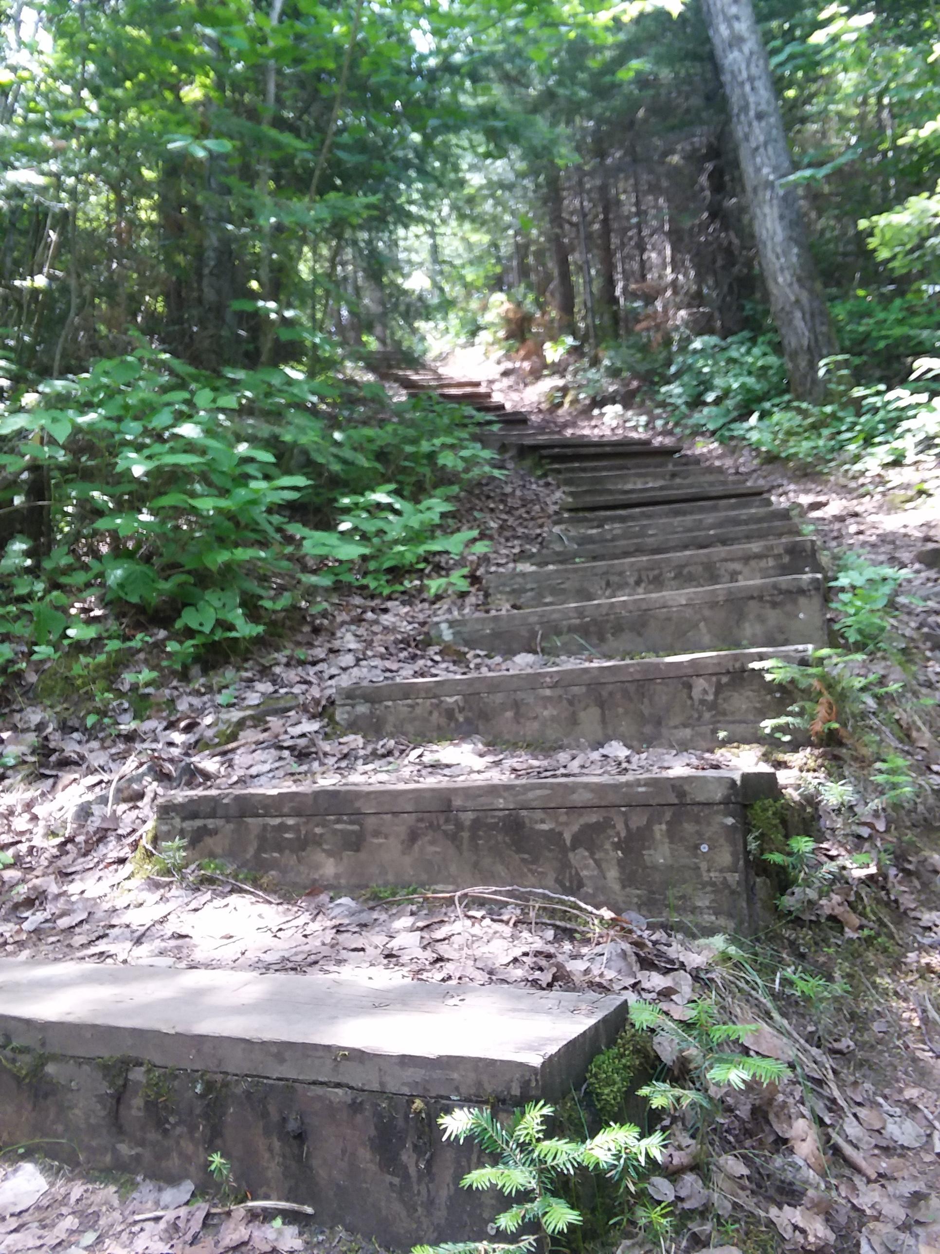
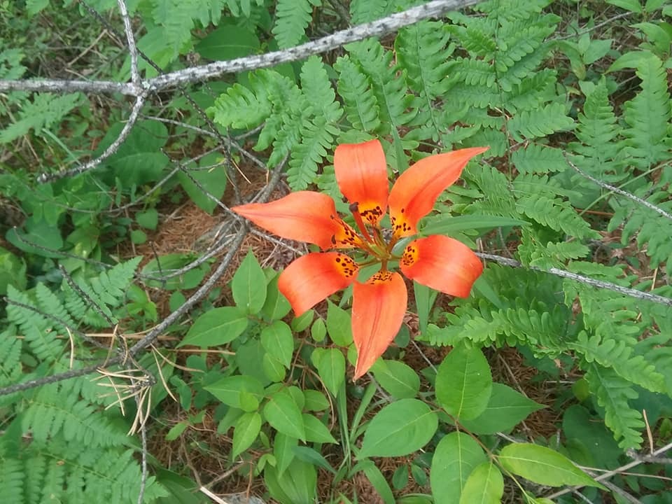
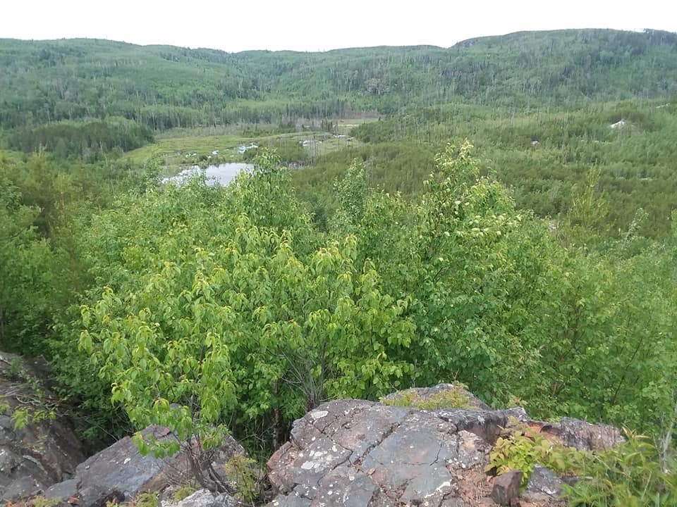
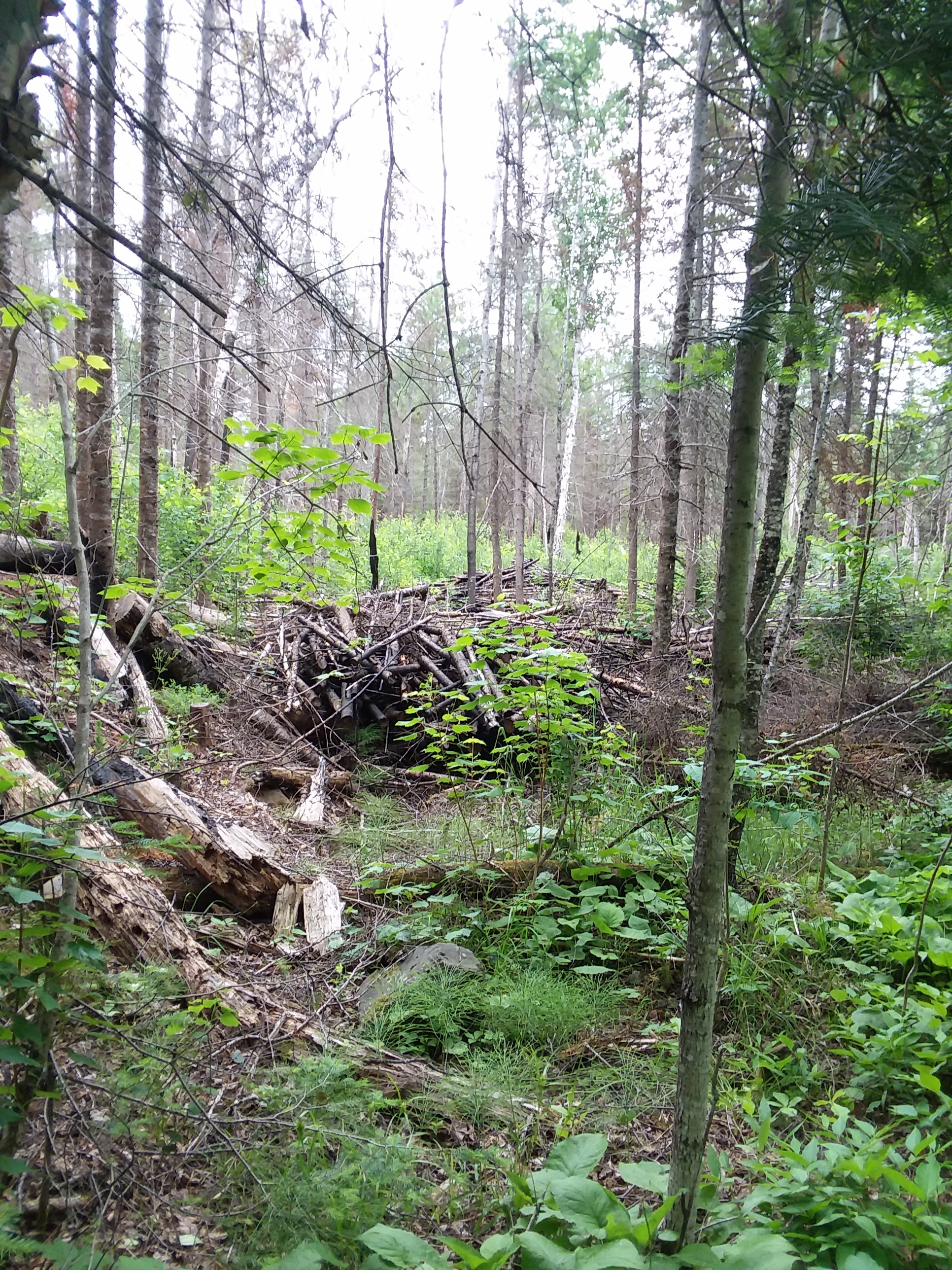
I did another big hike. This time I took Poplar Trail. Again, there wasn't a whole lot to see on this trail of note, except that for a brief time I turned off and headed toward Bear Cub Trail and was following very closely to the Gunflint Trail road.

Image: wild roses
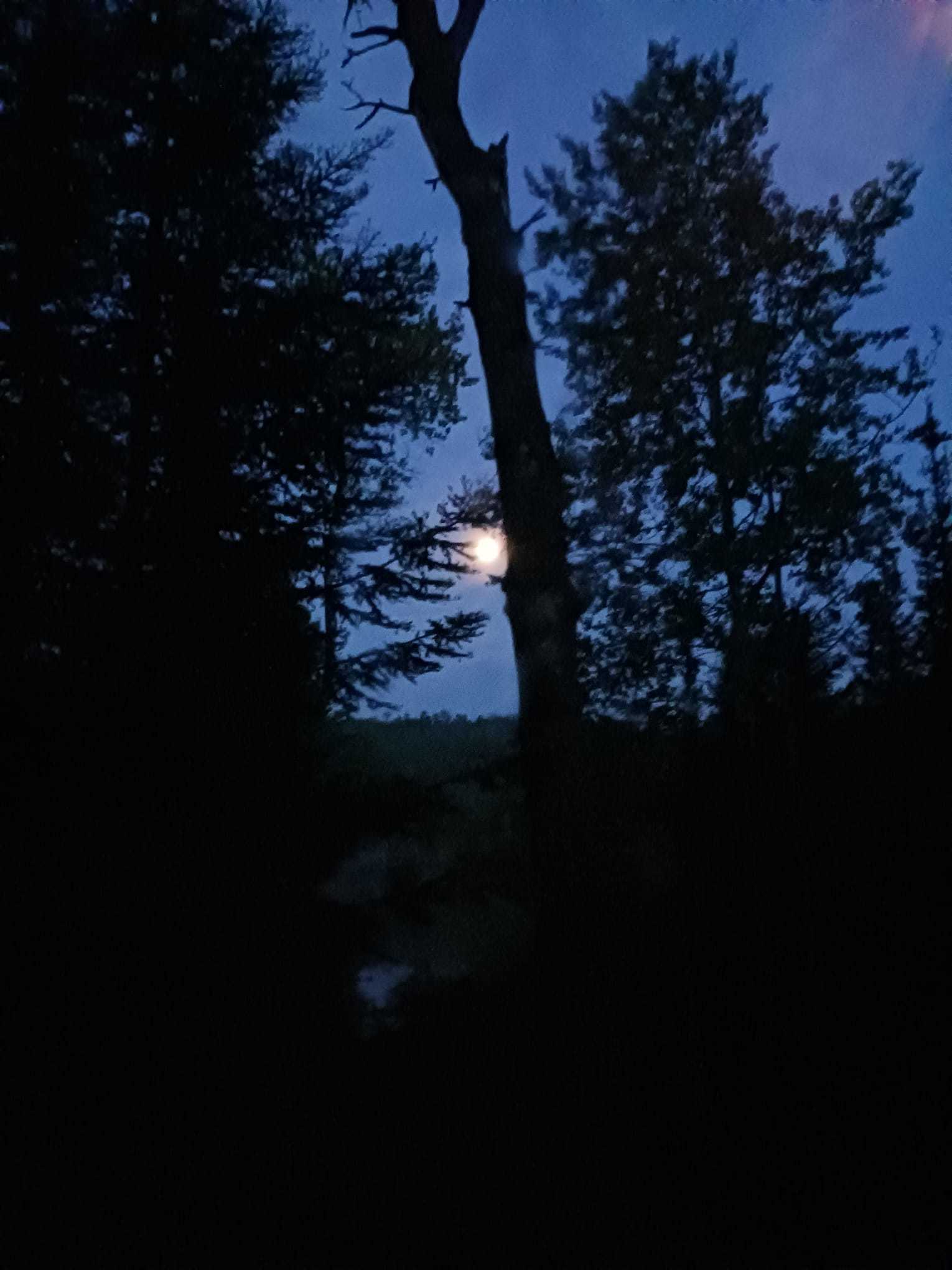
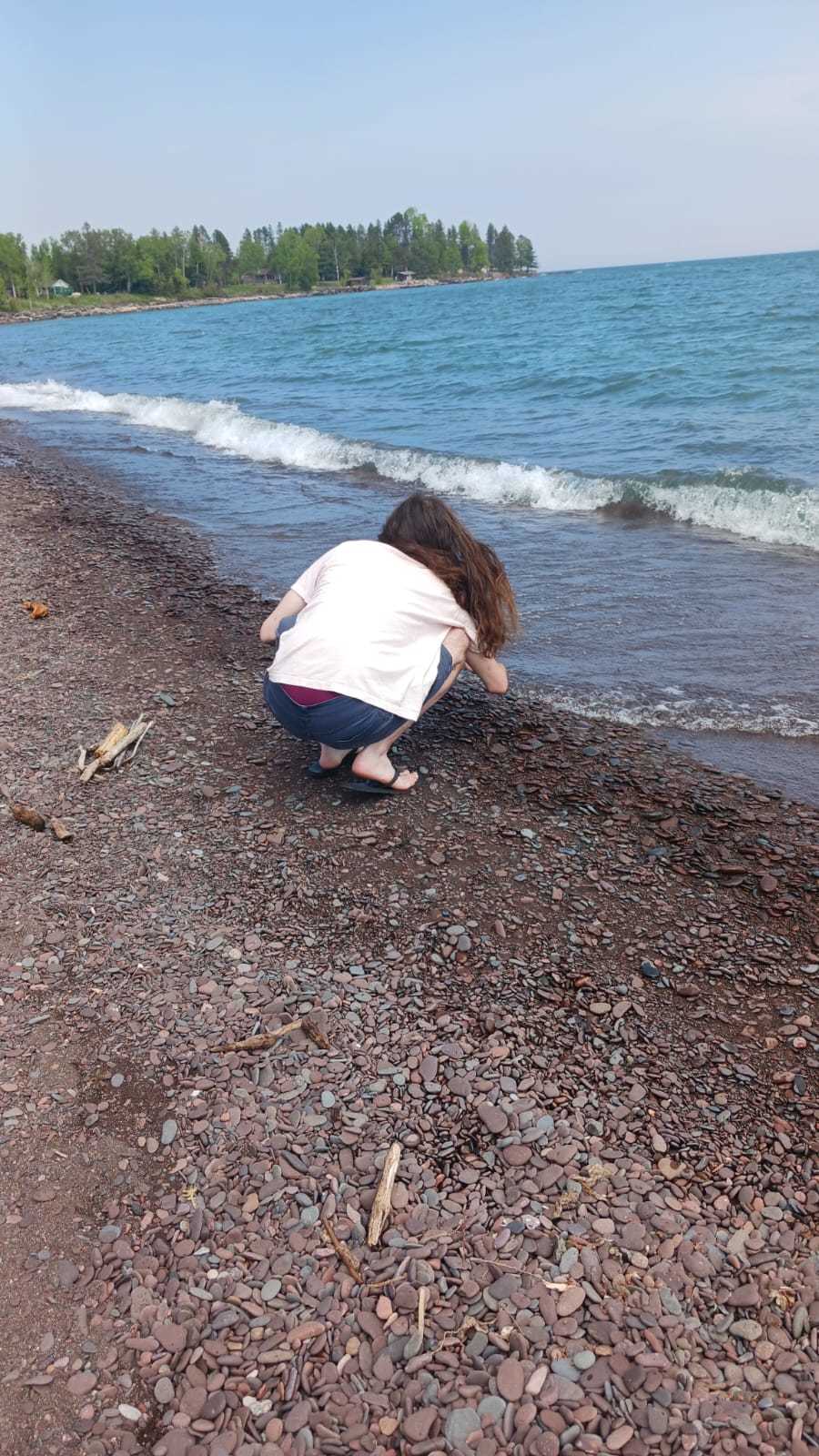
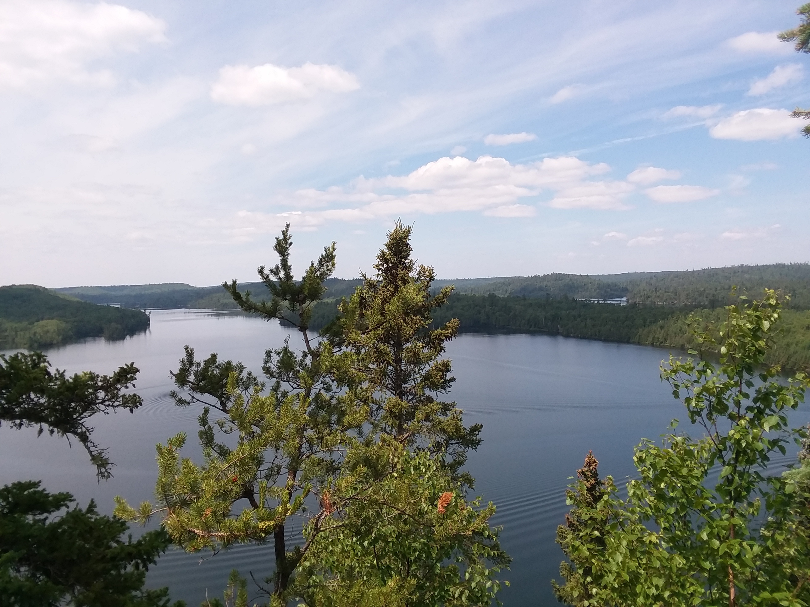
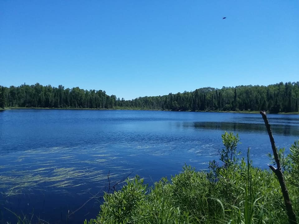
Much of the rest of the day was spent reading and enjoying the intermittent sunshine. Shawn and I walked down to the Lodge's beach and stuck our toes in the water. It is very cold! The ice only came off the lake a couple of weeks ago. But, my ankles had been kind of sore from all the hiking I've been doing and so I decided it was the right kind of refreshing.
We drove up to the Trail Center for dinner and generally enjoyed being "in civilization" (or at least in company with more of our fellow humans.) As we were leaving there was a clot of old duffers sharing actual fish stories about that "eight pound walleye" caught "out by the big rock."
Classic.
We head home tomorrow, but I'm hoping to stop along the way at all the State Parks so get my passport stamped, etc. But, I may have to do a big re-cap on Sunday of both today (Friday) and our drive home (Saturday.) See you all then!
In the meantime, here is some honeysuckle (I believe) growing in a sunny spot on a wide road.

Image: close-up of honeysuckle
The folks working at the lodge confirmed. They'd been sighting a pine martin between the staff cabin and Cabin 1 (where we're staying.)
I did another big hike. This time I took Poplar Trail. Again, there wasn't a whole lot to see on this trail of note, except that for a brief time I turned off and headed toward Bear Cub Trail and was following very closely to the Gunflint Trail road.
Image: wild roses
Much of the rest of the day was spent reading and enjoying the intermittent sunshine. Shawn and I walked down to the Lodge's beach and stuck our toes in the water. It is very cold! The ice only came off the lake a couple of weeks ago. But, my ankles had been kind of sore from all the hiking I've been doing and so I decided it was the right kind of refreshing.
We drove up to the Trail Center for dinner and generally enjoyed being "in civilization" (or at least in company with more of our fellow humans.) As we were leaving there was a clot of old duffers sharing actual fish stories about that "eight pound walleye" caught "out by the big rock."
Classic.
We head home tomorrow, but I'm hoping to stop along the way at all the State Parks so get my passport stamped, etc. But, I may have to do a big re-cap on Sunday of both today (Friday) and our drive home (Saturday.) See you all then!
In the meantime, here is some honeysuckle (I believe) growing in a sunny spot on a wide road.
Image: close-up of honeysuckle


 '
' .
.